Snowfall Alert in Kashmir for next 24 Hours,
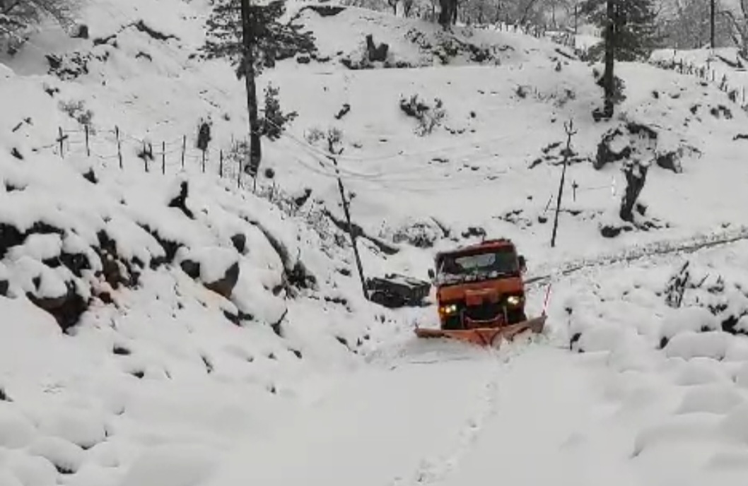
Wattandaily.com Reports: At 5:30 p.m on 19th February the latest weather update provides insights into the forthcoming conditions across Jammu and Kashmir. Over the next 24 hours, heavy to very heavy snowfall is expected to persist in the higher reaches of the region. Areas such as Sonamarg, Gulmarg, Gurez, Zojila pass, Sinthan pass, Peer ki Gali, and Razdan pass are likely to bear the brunt of this snowfall, with accumulation potentially reaching 6-7 feet by tomorrow evening.
Additionally, moderate to heavy rainfall is on the horizon for most plains, with the possibility of snowfall extending to many areas of Kashmir within the same timeframe.
Of particular concern is the anticipated snowfall across the plains of Kashmir, with the peak likelihood forecasted for tonight and tomorrow morning.


Conversely, the plains of Jammu are expected to experience moderate to heavy rainfall, accompanied by thundershowers, lightning, and thunderstorms in isolated pockets during the aforementioned period.
Residents and authorities in the region are urged to remain vigilant and take necessary precautions to mitigate any adverse effects of the impending weather conditions.
Travelers are advised to exercise caution, particularly in mountainous areas where heavy snowfall can lead to treacherous road conditions and possible avalanches.
Local authorities are also encouraged to stay alert and prepared to respond promptly to any emergencies or disruptions caused by the inclement weather.