Weather Update; Snowfall in Kashmir predicted from today
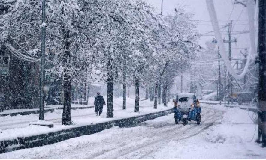
Wattan Daily: A strong Western Disturbance is forecasted to impact Jammu and Kashmir from 18th to 20th February, bringing moderate to very heavy rain and snowfall across most areas of the Union Territory.
Initially, rain is expected in the plains, potentially transitioning to snowfall on the evening of the 18th or on the 19th of February, primarily in northern Kashmir.
For central and southern Kashmir plains, rain is likely to dominate, with the possibility of transforming into snowfall due to evaporational cooling, especially if a heavy spell of rain persists.


Predicting exact snowfall amounts remains uncertain, but probabilities indicate a 65% chance of snowfall in North Kashmir, 40% in Central Kashmir, and 50% in South Kashmir, with the potential for heavy snowfall on the 18th and 19th.
The snowfall, dense and potentially damaging, could accumulate significantly, ranging from 2 to 7 feet in the upper reaches of North Kashmir and 1 to 5 feet in the higher elevations of Central and South Kashmir.
Given the forecasted conditions, there is a high risk of shooting stones and landslides along the Jammu-Srinagar National Highway, leading to disruptions in travel. It is advisable to postpone journeys between the 18th and 21st of February for safety reasons.