Snowfall/Rain Predicted in Kashmir in Latest weather update
Wattandaily.com Reports; A significant Western disturbance is forecasted, bringing heavy rain/snow to Jammu and Kashmir starting from the night of 17th Feb.
The Meteorological Department of Kashmir and Independent Weatherman Aadil Maqbool anticipate snowfall accumulation of 2-6 feet in higher reaches, affecting tourist spots like Sonamarg, Gulmarg, Kokarnaag, Pahalgam, and Doodhpatri, with up to 2-4 feet of snow.
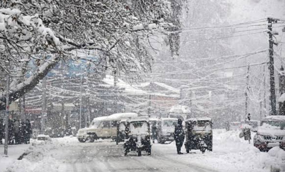
Kashmir plains are also expected to experience substantial snowfall accumulation between 18th and 21st Feb, with Jammu plains likely to receive moderate to heavy rain/thundershowers during the same period.


On 17th Feb, the weather is expected to be mostly cloudy with light rain/snow in some areas, without any major disruptions.
18th February will see widespread moderate to heavy rain in the plains and heavy snowfall in the higher reaches of Jammu and Kashmir, with chances of snowfall in some plains of Kashmir from the evening.
19th February will bring moderate to heavy snowfall across many plains, with heavy to very heavy snowfall in the higher reaches of Jammu and Kashmir.
Intermittent snowfall is expected on 20th February in the plains, with heavy to very heavy snowfall continuing in the upper reaches of Jammu and Kashmir.
On 21st Feb, there will be light to moderate rain/snow, with an improvement in weather conditions towards late afternoon/evening.(wattandaily.com)