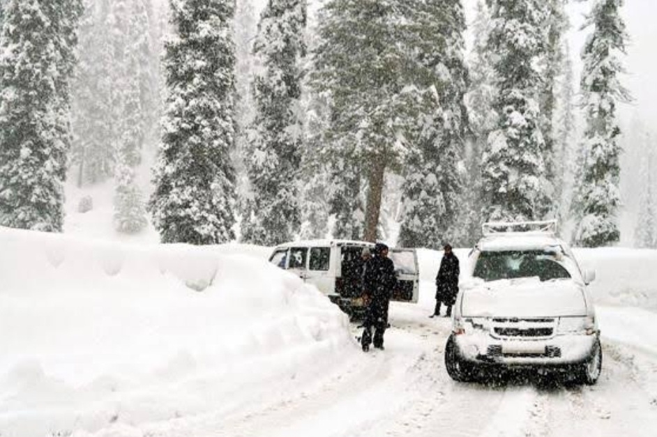
Snowfall in Kashmir, Check Latest Predictions on 25, 26, 27, 28, 29 ,30 & 31st January
Srinagar, Jan 23 (WD):
Important Weather Update for Jammu and Kashmir
First Western Disturbance (January 25-27):
Anticipated influence over Jammu and Kashmir from January 25 to the morning of January 27. Expect light to moderate snowfall in the higher reaches of Kashmir, with a chance of light snowfall in Ladakh on the evening of January 25 and January 26. Some plains in Kashmir may experience light rain/snow showers on January 26. Overall, no major weather events are predicted.


Second Western Disturbance (January 28-30):
Anticipated impact from January 28 to the morning/afternoon of January 30. Moderate snowfall is possible in higher areas of Jammu and Kashmir, including Doodhpatri, Gulmarg, Pahalgam, Sonamarg, Gurez, Sinthan top, and Peer ki Gali. Some parts may witness heavy snowfall. For the Kashmir plains, expect light to moderate rain/snow, with a possibility of a few inches of snowfall in some areas. Jammu City may experience light/moderate rain showers, along with snowfall in higher elevations.
Third Western Disturbance (Late night January 30 – Morning of February 2):
Expected influence from late night on January 30 to the morning of February 2 (60-70% probability). Indications suggest higher intensity compared to previous disturbances. Further updates on this wet spell will be shared in the coming days.
Note:
- No continuous precipitation/snowfall is expected.
- Mostly cloudy sky with intermittent rain/snow showers expected over most parts from January 25 evening to February 2, particularly in higher elevations.
- Day temperatures will significantly drop from January 25 onwards.
- The first snowfall of the season is possible over the plains of Kashmir, with the highest likelihood during the second or third Western disturbance.