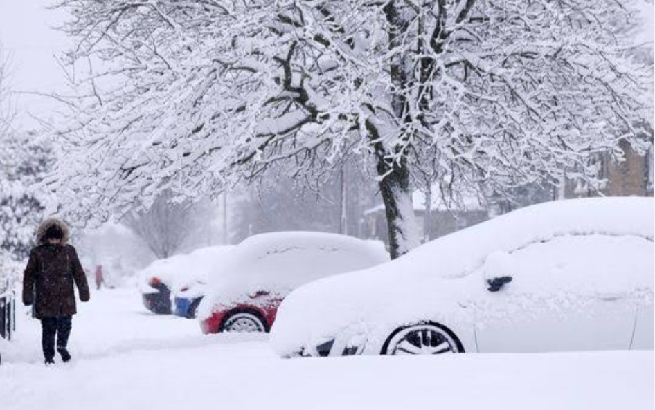
Latest Snowfall Prediction in Kashmir by MeT Deptt

Wattandaily.com Weather Update; A strong Western Disturbance is forecasted to impact Jammu and Kashmir starting from the night/morning of 18th February onwards, bringing with it moderate to heavy rain and snowfall.
Initially, rainfall is anticipated in the plains, with a potential transition to snowfall on 18th or 19th February.
Uncertainty looms over continuous snowfall in the plains as temperatures may rise on 19th afternoon, but higher reaches are expected to witness heavy to very heavy snowfall until 20th February.
Some areas may experience over 5 feet of snow accumulation, with Sadhna Top possibly accumulating 10-12 feet of snow, leading to prolonged pass closures.
Similar conditions are expected for Razdan Pass and Sinthan Pass, with significant snowfall and potential closures.
For plains and middle reaches, if snow occurs and accumulates, it could be denser and more damaging compared to dry, fluffy snow.
The risk of landslides and shooting stones along the Jammu-Srinagar National Highway is high, prompting advisories to postpone planned journeys between 18th and 21st February.(WD)


