Heavy Snowfall Prediction in Kashmir in coming days, Check Latest update
Wattandaily.com Reports; Kashmir braces for a shift in weather patterns, the night temperature is on the rise, heralding the arrival of a wet spell expected to commence from tomorrow. According to the weather forecast, an extended period of wet weather is anticipated, starting from the night of February 17 until the afternoon of February 21.
The weatherman has issued alerts about the impact of “moderate to intense Western Disturbances” likely to affect Jammu and Kashmir and adjacent areas from February 17 afternoon onwards. This disturbance is expected to trigger an extended wet spell, covering the region until February 21 afternoon.
In the Kashmir Valley, the forecast predicts partly to generally cloudy skies, with the possibility of light snow at isolated higher reaches late on Saturday night. Subsequently, on February 18, generally cloudy weather with light to moderate rain and snow is expected in many places across the valley.


From February 19 to 20, the weather forecast indicates the likelihood of light to moderate rain and snowfall in most areas, including plains and lower reaches. There’s a possibility of heavy snowfall over middle and higher reaches of specific districts during this period.
On February 21, the forecast suggests the continuation of light to moderate snow in many places until late afternoon, with gradual improvement thereafter. Similar weather patterns are anticipated for the Jammu division, with the possibility of light rain and snow at various locations on Sunday.
During February 19-20, intermittent light to moderate rain with thunder/lightning is expected in the plains of Jammu Division, accompanied by light to moderate snowfall in higher reaches. Heavy snowfall is anticipated in isolated higher reaches of specific districts.
The Meteorological Office has issued advisories cautioning about potential road closures in higher reaches and important passes due to the weather system. Travelers are advised to plan accordingly, while farmers are urged to take precautionary measures such as withholding irrigation and fertilizer application during this period.
Additionally, a significant drop in day temperatures is expected throughout the duration of the weather spell. As Kashmir transitions from the harsh winter period of ‘Chillai-Kalan’ to ‘Chillai-Khurd’, followed by ‘Chillai-Bachha’, residents and travelers alike are advised to stay informed and take necessary precautions to navigate through the changing weather conditions.
Further, according to independent Weather forecaster, there is Red Alert Weather for upcoming days, Red Alert For Higher reaches of Jammu and Kashmir on 18-20th Feb. Very heavy Snowfall possible over some upper reaches.
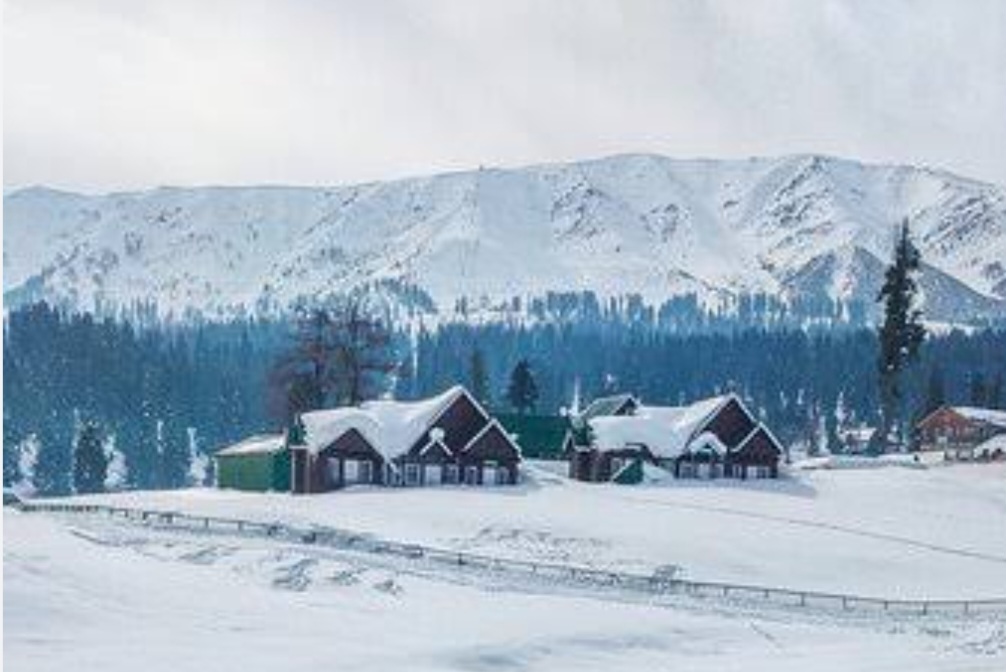
5-6 Feet Snowfall may happen in Some higher reaches, 2-3 feet snowfall expected over tourist places Like Gulmarg, Sonamarg & Doodhpatri : (Independent Weatherman Aadil Maqbool)