Big News; 03 Western Disturbances to bring Snowfall in Kashmir
Srinagar, Jan 24 (WD):
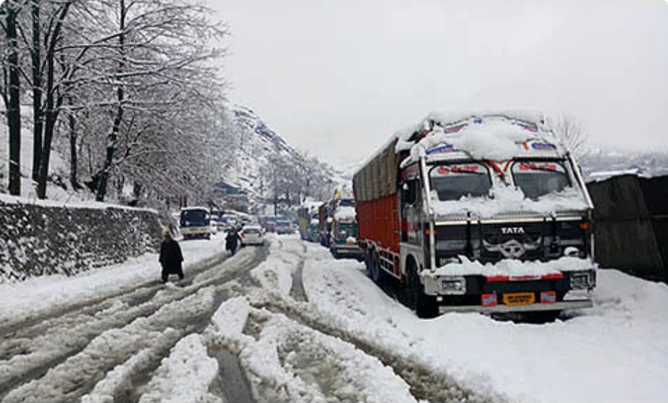
Jammu and Kashmir brace for significant weather changes, courtesy of three consecutive Western disturbances. From 25-27 January, the first disturbance is expected to bring light to moderate snowfall to the higher reaches of Kashmir and Ladakh. For detailed insights, visit wattandaily.com
The second disturbance, anticipated between 28-30 January, may result in moderate snowfall in various regions, including Doodhpatri, Gulmarg, Pahalgam, Sonamarg, Gurez, Sinthan Top, and Peer Ki Gali. Specific details are available at insightkashmir.com, as plains in Kashmir may witness light to moderate rain/snow.


Prepare for the third disturbance from late night on 30 January to 02 February, with higher intensity. Regular updates on this wet spell will be shared at wattandaily.com in the coming days.
Notably, continuous precipitation/snowfall is not expected. Mostly cloudy skies with intermittent rain/snow showers are likely from 25 January to 02 February. Day temperatures will significantly drop starting 25 January. The first snowfall over the plains of Kashmir is anticipated, with the highest chances during the second or third Western disturbance. Stay informed with precise forecasts on wattandaily.com.