Breaking News; Now Indian MeT Deptt predicts Snowfall in Kashmir from Jan 28 to 03 Feb

New Delhi, Jan 28 (WD):
The India Meteorological Department (IMD) predicts the first heavy snowfall of the season in the western Himalayan region, driven by two consecutive western disturbances starting Sunday.
During this winter season, the mountain peaks in the western Himalayas have remained unusually bare, attributed to the absence of active western disturbances (WDs) originating in the Mediterranean.
The prevailing El-Nino conditions, causing abnormal warming of surface waters in the central Pacific Ocean, contribute to the lack of active WDs, affecting the region’s precipitation and potentially impacting water availability for horticulture and agriculture.
According to Sonam Lotus, head of the meteorological center in Leh, Ladakh, the precipitation deficit may adversely affect agricultural production in the Himalayan region.
The IMD reports that the first fresh western disturbance is expected to impact the western Himalayas from Sunday, followed by another affecting the region and adjoining plains of northwest India from January 31.
Between January 28 and January 31, isolated heavy rainfall/snowfall is likely over Jammu and Kashmir and Ladakh.
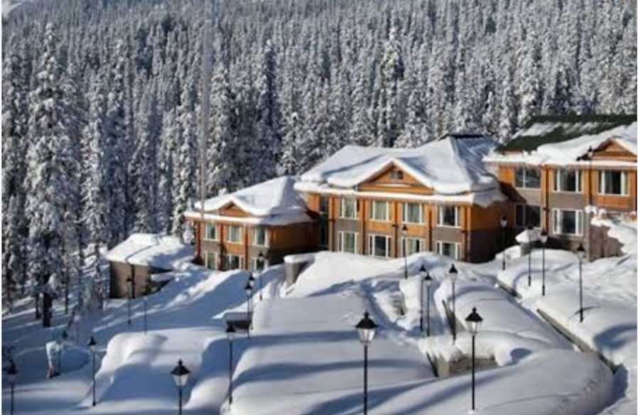
As per Latest reports with Wattan Daily, Heavy Snowfall has started in evening at various places of Kashmir including Sonamarg, Bandipora, Doodhpathri, Heerpora-shopian, Gulmarg etc and the scattered snowfall is expected in many other places of Kashmir Overnight.
From January 31 to February 2, Uttarakhand may experience light/moderate isolated to scattered rainfall/snowfall, while Punjab, Chandigarh, Haryana, and west Uttar Pradesh may witness light rainfall, as per the Met office statement. (WD)


